

Sakshi Education
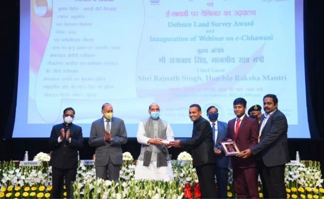
- The Directorate General Defence Estates (DGDE) has developed a Artificial Intelligence-based Change Detection Software that can automatically detect unauthorised constructions & encroachments on the defence land using Satellite Imagery, demonstrating once again how technology has benefited the country’s defense-related issues. For efficient land management and urban planning, the Institute makes use of the most recent surveying technology, including satellite photography, drone imaging, and geospatial tools.
- The Directorate General of Defence Estates established the Centre of Excellence on Satellite & Unmanned Remote Vehicle Initiative (CoE-SURVEI) at the National Institute of Defence Estates Management at Meerut Cantonment in Uttar Pradesh. CoE-SURVEI is responsible for developing AI-based software.
- The change detection programme has been created by the CoE-SURVEI in collaboration with knowledge partner Bhabha Atomic Research Centre (BARC).
- Currently, the software employs trained software and Cartosat-3 imagery from the National Remote Sensing Centre (NRSC).
- By analysing satellite imagery from various time periods, the alterations are found.
- Tools for analysing unoccupied land and 3D imagery analysis of hill cantonments have also been created by the Centre of Excellence on Satellite & Unmanned Remote Vehicle Initiative for land management.
>> Download Current Affairs PDFs Here
Download Sakshi Education Mobile APP

Published date : 08 Jul 2022 06:09PM


More Articles


Most Read