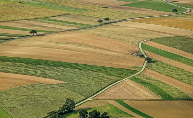
Mapping of Crops through Satellite
Sakshi Education

- The government is implementing various projects related to Crop Production Forecasting and Drought Assessment which involves use of satellite images such as Forecasting Agricultural output using Space, Agro- meteorology and Land based observations (FASAL) project for crop production, forecasting of field crops, National Agricultural Drought Assessment and Monitoring System (NADAMS) for Agricultural drought assessment.
- FASAL and NADAMS are operationalized by Mahalanobis National Crop Forecast Centre (MNCFC) an attached office of the Department of Agriculture & Farmers’ Welfare. At present, nine crops namely rice, wheat, rabi pulses, rapeseed & mustard, rabi, jowar, cotton, jute, tur and sugarcane are covered under FASAL project.
- Satellite images are also used in technological support to Pradhan Mantri Fasal Bima Yojana (PMFBY) and also for various operational applications under PMFBY, such as Smart Sampling for Crop Cutting Experiments (CCEs) and Yield & Area dispute resolution.
- MNCFC has been working with ISRO and Industry on developing and upscaling various geo-spatial solutions and services. Recently, an MoU has been signed between MNCFC and Pixxel Space India pvt ltd. to develop agricultural analytics models using imageries from Pixxel's hyperspectral satellites, for crop identification and mapping, crop health monitoring and soil organic carbon estimation over selected regions on pilot basis. This improves accuracy in crop estimation surveys, Disaster management and relief, Crop insurance, and Farm level advisories.
Also Read: Weekly Current Affairs (Important Dates) 25-30 June 2023 Bitbank: When was World MSME Day observed?
>> Download Current Affairs PDFs Here
Download Sakshi Education Mobile APP

Published date : 22 Jul 2023 05:56PM


