

The drone airspace map comes as a follow-through of the liberalised Drone Rules, 2021 released by the Central Government on 25th of last month, the PLI scheme for drones released on 15th of this month and the Geospatial Data Guidelines issued on 15th February this year.
All these policy reforms will catalyse super-normal growth in the upcoming drone sector. Civil Aviation Ministry said, drones offer tremendous benefits to almost all sectors of the economy.
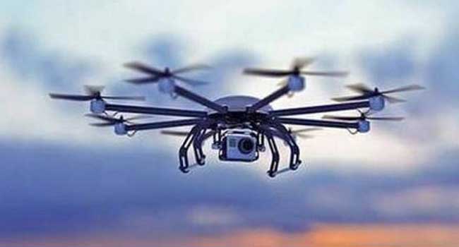
These include, agriculture, mining, infrastructure, surveillance, emergency response, transportation, geo-spatial mapping, defence, and law enforcement to name a few. Drones can be significant creators of employment and economic growth due to their reach, versatility, and ease of use, especially in India’s remote and inaccessible areas.
Given its traditional strengths in innovation, information technology, frugal engineering and its huge domestic demand, India has the potential of becoming a global drone hub by 2030.
More Articles


Most Read