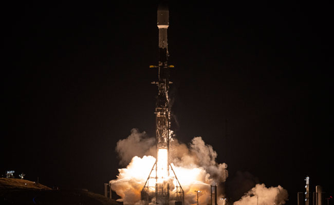
NASA Launches International Mission ‘SWOT’ to Survey Earth’s Water
Sakshi Education

- The US National Aeronautics and Space Administration (NASA) and the French space agency Centre National d’Etudes Spatiales (CNES) have jointly launched the newest Surface Water and Ocean Topography (SWOT) spacecraft to track nearly all the water on the surface of the Earth. It was launched atop a SpaceX rocket from Space Launch Complex 4E at California’s Vandenberg Space Force Base. It will remain operational for 3 years.
- The Surface Water and Ocean Topography (SWOT) mission is a satellite altimeter jointly developed and operated by NASA and CNES (French space agency) in partnership with the space agencies of the UK and Canada.
- The mission’s objective is to make the world’s first-ever global survey of the Earth’s surface water, capable of observing the finer details of the ocean surface topography and measuring the changes in the terrestrial surface water bodies.
- It is equipped with an instrument called the Ka-band radar interferometer (KaRIn), which bounces radar pulses off the surface of the water and receives the return signal using 2 antennas on either side of the spacecraft.
>> Download Current Affairs PDFs Here
Download Sakshi Education Mobile APP

Published date : 20 Dec 2022 05:29PM


